MATTHEW FONTAINE MAURY (19TH CENTURY UNITED STATES)
C. 1833 – 1865
Table of Contents: Matthew Fontaine Maury

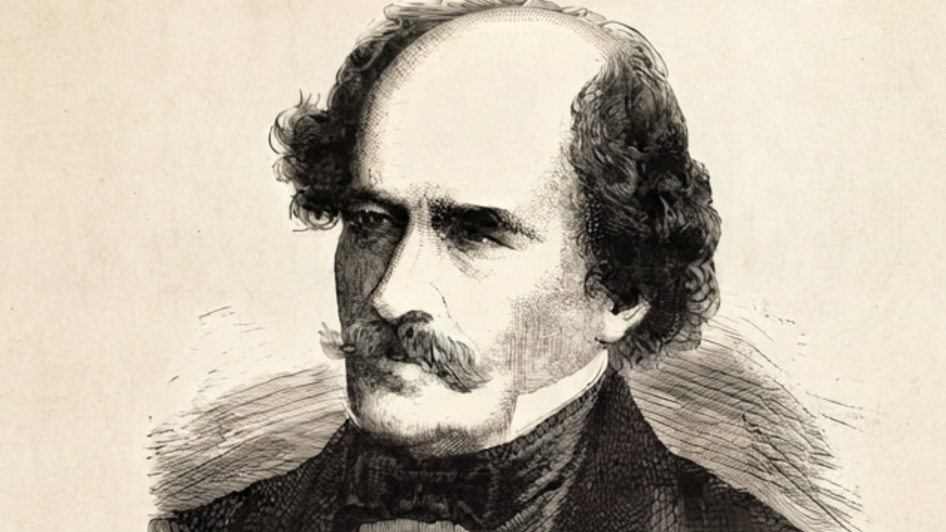
Matthew Fontaine Maury. His name reflects a blend of English and French Huguenot ancestry, identifying him as a scion of the landed gentry class in the American South, where familial honor and maritime service were deeply intertwined.

Spotsylvania County, Virginia (USA). This region served as a vital agricultural hub, positioned strategically near the fall line of major rivers that facilitated initial colonial commerce and early industrial development.

1825 – 1873. During these decades, he transitioned from a midshipman to a global scientific authority, ultimately synthesizing the world’s first comprehensive oceanic and meteorological database.

United States Navy, United States Naval Observatory, and the Confederate States Navy. He navigated intense ideological shifts, ultimately prioritizing his regional loyalty to Virginia over his federal service during the American Civil War.

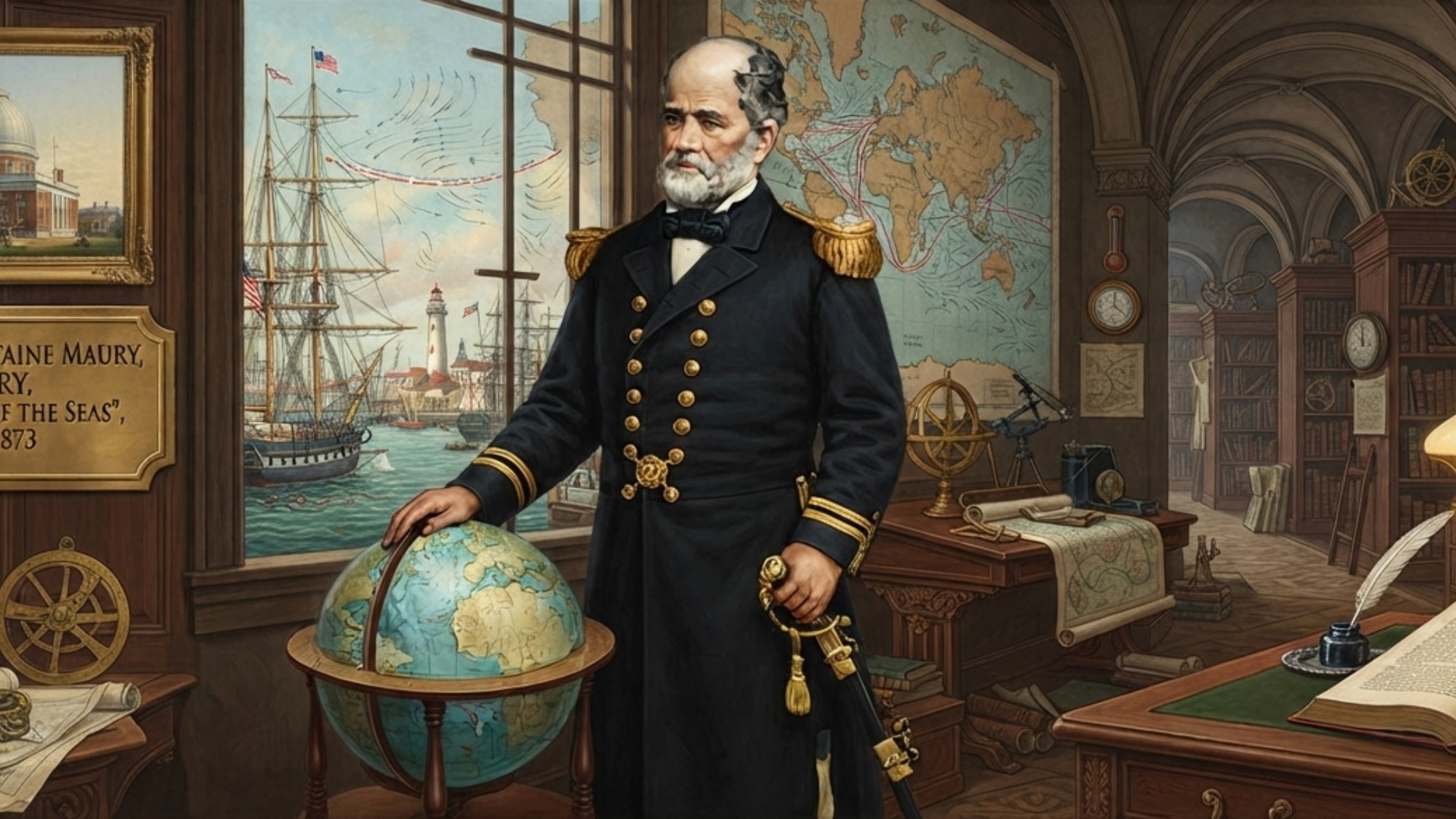
Father of Modern Oceanography. This title, bestowed by contemporary scientific societies, honors his departure from anecdotal nautical folklore toward the systematic, empirical study of global deep-sea currents and winds.

He pioneered systematic maritime methodologies through the Physical Geography of the Sea, establishing the foundational baseline for all future global oceanographic and meteorological disciplines.

Circumnavigation of the globe, command of the U.S. Naval Observatory, authorship of the Wind and Current Charts, organization of the 1853 Brussels Maritime Conference, service as a Confederate naval agent, promotion of telegraphic communication, and extensive hydrographic surveys.

He selflessly advocated for international scientific cooperation, insisting that meteorological data be shared openly among all nations regardless of existing geopolitical tensions or active naval conflicts.

| His reputation suffered due to his Confederate service, yet modern archival reappraisal consistently affirms his status as the indispensable architect of contemporary naval intelligence and maritime safety. |
“The sea, with its flora and fauna, is a world of its own, independent of the land.”
– Matthew Fontaine Maury
Overview: Matthew Fontaine Maury
Matthew Fontaine Maury is universally remembered as the premier scientific pioneer who transformed the chaotic unpredictability of the ocean into a structured field of empirical study. Before his interventions, sailors relied upon superstitious traditions and inconsistent logbooks, leaving merchant fleets vulnerable to catastrophic losses. By aggregating decades of scattered naval records, he produced the revolutionary Wind and Current Charts, which drastically reduced travel times for global commerce. Furthermore, he successfully convened the first international maritime conference, fostering a spirit of universal scientific collaboration that transcended national borders. His dedication to systematic inquiry effectively turned the world’s oceans into a measurable, predictable, and safer domain for humanity.
His life work remains a masterclass in the conversion of raw, unorganized data into actionable intelligence. By scrutinizing thousands of fragmented ship logs, he identified consistent, invisible pathways within the water column. He transitioned from mere observation to rigorous cross-examination of evidence, proving that oceanic circulation followed precise, law-bound patterns. Consequently, he provided the maritime industry with the necessary tools to navigate global corridors with unprecedented precision. His methodology did not merely improve sailing; it permanently altered how we conceptualize the interconnectedness of Earth’s atmosphere and its vast, hidden aquatic systems.
Did you know? Matthew Fontaine Maury

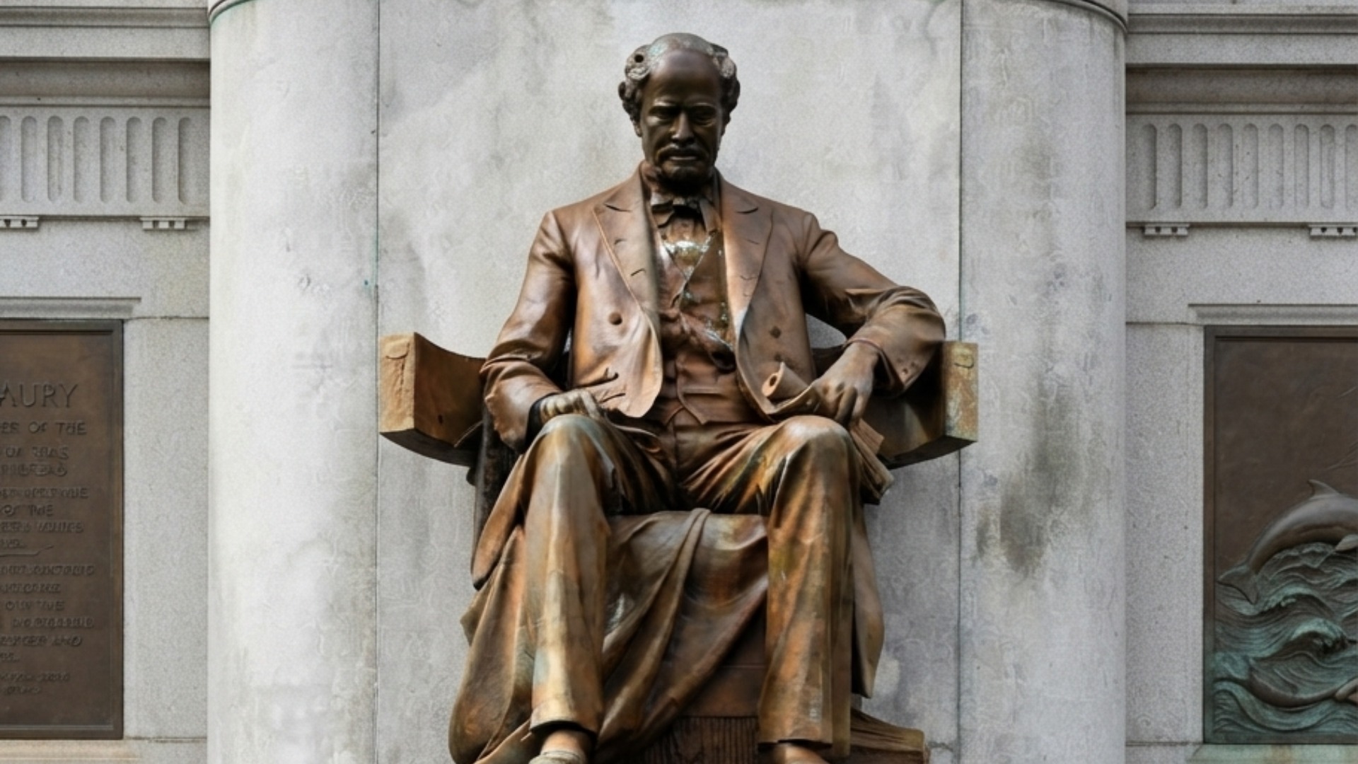
The bronze statue of Matthew Fontaine Maury on Monument Avenue in Richmond, Virginia, serves as a grand tribute to his scientific legacy. This monument depicts the oceanographer in a dignified posture, emphasizing his role as both a naval officer and an intellectual architect of maritime safety.

Historians previously dismissed his theories on the “river in the ocean” as poetic hyperbole until modern satellite oceanography confirmed the precise existence of the Gulf Stream’s stable, narrow, and high-velocity core. This empirical validation proved that his intuitive synthesis of scattered nautical data was based on sound physical observation rather than speculative guesswork.

| Maury physically executed his massive data projects by creating custom-designed forms, which he distributed to thousands of ship captains, mandating the standardized recording of water temperature, wind speed, and barometric pressure at four-hour intervals. |
Timeline of Matthew Fontaine Maury
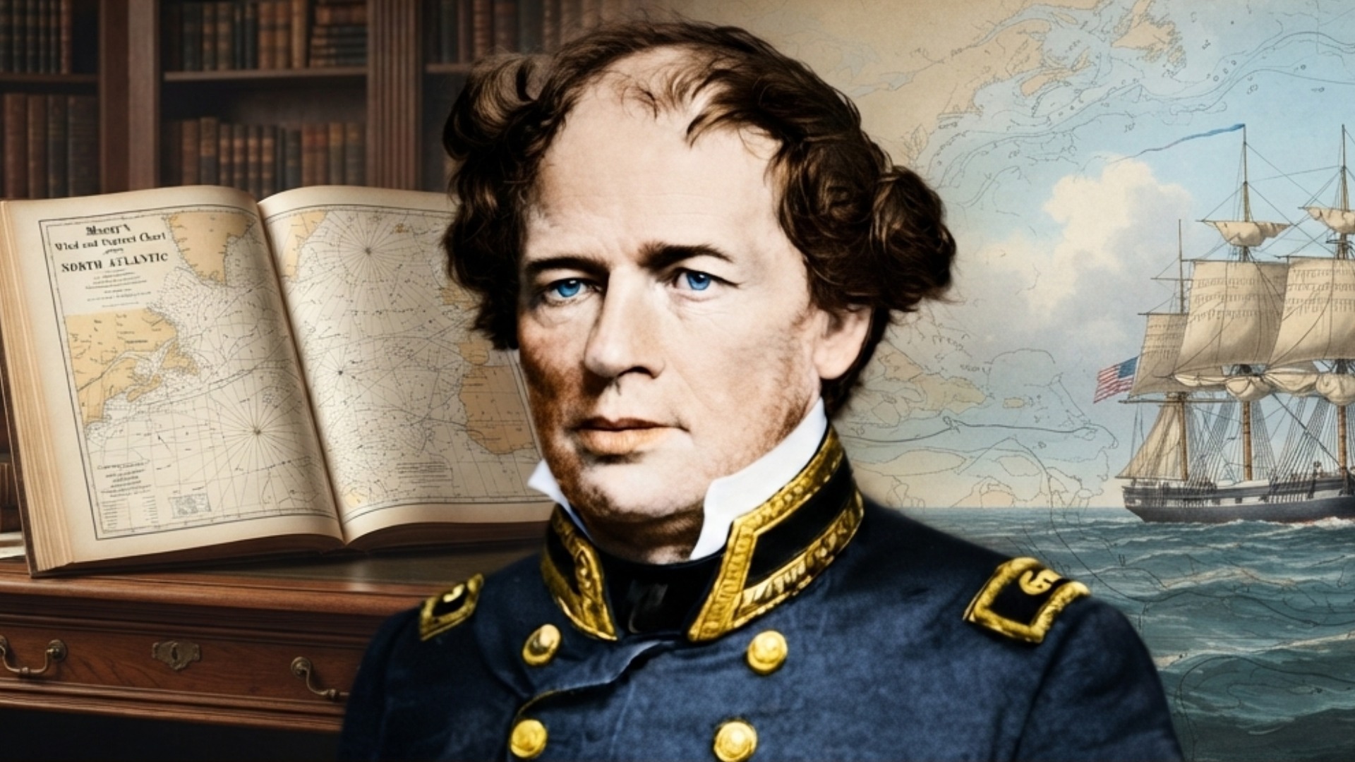
Born into a family of modest Virginia planters, Matthew Fontaine Maury entered the United States Navy in 1825, spending his formative years honing his skills during a historic circumnavigation on the USS Vincennes. This arduous journey exposed him to the limitations of existing navigational charts, prompting a lifelong obsession with the intersection of mathematics and maritime movement. Following a debilitating stagecoach accident in 1839, his active sea duty ended abruptly, forcing a pivot toward administrative leadership at the U.S. Naval Observatory. He utilized this period of physical recovery to conduct deep-dive research into discarded naval logs, systematically uncovering the hidden variables that governed wind patterns. By 1842, his administrative acumen led him to transform the Depot of Charts and Instruments into a global center for hydrographic research. He effectively bridged the gap between raw, anecdotal data and structured scientific publication, creating a new paradigm for naval intelligence.
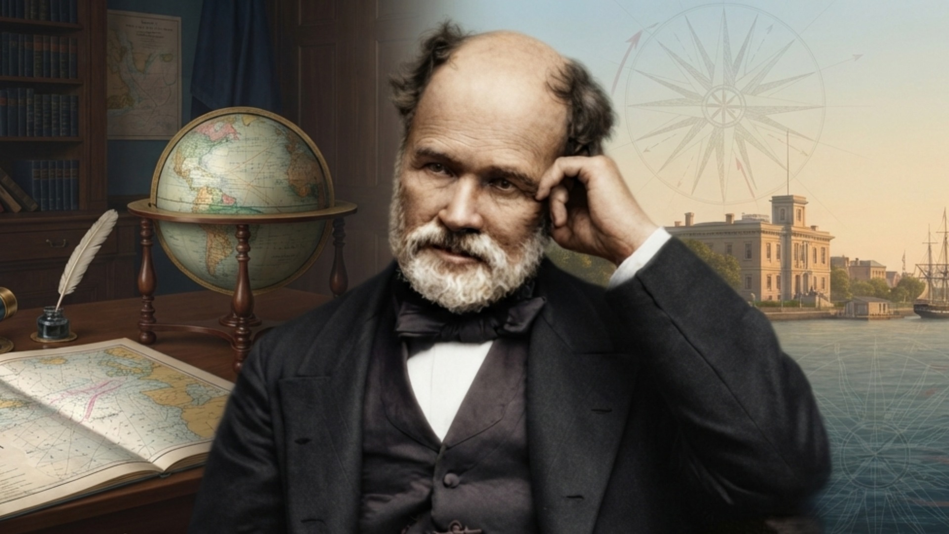
His mid-career was defined by the massive, multi-year undertaking of the Wind and Current Charts, which he distributed to captains worldwide in exchange for their ongoing observational input. This decentralized data-gathering network became the most sophisticated scientific project of the mid-nineteenth century, necessitating his attendance at the 1853 Brussels Conference to standardize international meteorological collection. Despite these successes, his life took a tumultuous turn with the onset of the American Civil War; he resigned his commission to support Virginia, serving as a foreign emissary and technological advisor for the Confederacy. This political decision complicated his post-war legacy, yet he continued to innovate by promoting the expansion of underwater telegraphy. His final years were spent in academic pursuits, advocating for the synthesis of science and statecraft until his death in 1873, leaving a blueprint for oceanographic study that remains relevant in modern marine logistics.
Timeline Chronology
| YEAR | EVENT | DESCRIPTION |
| 1806 | Birth | Born in Spotsylvania County, Virginia, into a lineage of French Huguenot descent and agrarian leadership. |
| 1825 | Commissioned | Entered the U.S. Navy, beginning a career that integrated traditional seamanship with mathematical inquiry. |
| 1826 | First Voyage | Sailed on the frigate Brandywine, gaining firsthand exposure to the realities of Atlantic navigation. |
| 1831 | Circumnavigation | Served on the USS Vincennes, collecting essential longitudinal data during a multi-year global voyage. |
| 1836 | Publication | Published A New Theoretical and Practical Treatise on Navigation, establishing his reputation as an intellectual authority. |
| 1839 | Injury | Suffered a career-ending leg injury, transitioning him from active sea duty to high-level maritime research. |
| 1842 | Observatory | Appointed Superintendent of the Depot of Charts and Instruments, initiating his systematic analysis of logs. |
| 1847 | Charts | Issued the first Wind and Current Charts, revolutionizing commercial shipping routes and decreasing transit times. |
| 1853 | Conference | Organized the Brussels Maritime Conference, establishing global standards for meteorological and oceanic observation. |
| 1855 | Major Work | Published The Physical Geography of the Sea, the first comprehensive textbook on modern oceanography. |
| 1861 | Secession | Resigned his U.S. federal commission to serve the Confederate naval efforts as an advisor. |
| 1862 | Emissary | Traveled to Europe to advocate for Confederate interests and secure advanced naval technology for the South. |
| 1868 | Academic Role | Accepted a professorship at the Virginia Military Institute, focusing on physical geography and meteorology. |
| 1871 | Telegraphy | Actively campaigned for international telegraphic cables to improve global maritime and commercial communication. |
| 1873 | Death | Passed away in Lexington, Virginia, leaving behind a legacy as the founder of global maritime science. |
Legacy of Matthew Fontaine Maury
Matthew Fontaine Maury’s intellectual footprint is profound, as he laid the essential groundwork for the modern study of oceanography and global meteorology. By proving that the ocean possessed a logical, law-governed structure, he moved human understanding away from maritime mysticism and into the realm of the exact sciences. His insistence on international data sharing created a blueprint for modern cooperative scientific research, which persists in current global climate initiatives. Later historical accounts continue to debate his political choices during the Civil War, yet his scientific methodology remains undisputed and foundational. Every modern weather forecast and naval navigation system acts as a direct descendant of his early, rigorous, and persistent efforts to quantify the sea.
Accomplishments:
| Data Aggregation | He pioneered the systematic collection and analysis of thousands of independent ship logs to synthesize universal oceanic patterns. |
| Meteorological Standardization | He established the first global protocol for standardized data collection, ensuring consistency across various international merchant and naval fleets. |
| Oceanic Cartography | He moved beyond surface-level maps, documenting the three-dimensional characteristics of currents, temperatures, and depths in deep ocean basins. |
| International Cooperation | He successfully advocated for the neutral exchange of scientific information, effectively bridging political divides through shared maritime safety goals. |
| Telegraphic Integration | He recognized the potential for underwater cables to synchronize meteorological data reporting, anticipating modern real-time satellite telemetry systems. |
| Hydrographic Intelligence | He transformed the Naval Observatory into a high-functioning clearinghouse for strategic geographic data, creating modern naval intelligence models. |
| Navigation Efficiency | He utilized statistical probability to optimize sailing routes, fundamentally changing the economics of global trade and supply chains. |
| Empirical Methodology | He rejected traditional maritime folklore, enforcing a strict adherence to observational, evidence-based documentation for all naval charts. |
| Interdisciplinary Synthesis | He bridged the gap between physics, chemistry, and meteorology to explain the causal mechanisms of global climate patterns. |
| Professionalization | He elevated naval navigation from a vocational craft to a rigorous scientific discipline, requiring specialized academic training. |
| Deep Sea Soundings | He supervised pioneering efforts to map the floor of the Atlantic, providing critical data for early transatlantic cable installation. |
| Predictive Modeling | He applied long-term data trends to predict localized weather and current behavior, precursors to modern environmental forecasting. |
| Infrastructure Development | He designed and advocated for specific instruments that enabled more accurate reading of marine atmospheric conditions. |
| Educational Reform | He emphasized the importance of rigorous mathematical and physical geographic training for all naval officers. |
| Scientific Diplomacy | He utilized his technical expertise to influence statecraft, demonstrating that scientific progress is a primary pillar of national power. |
References and Citations
- Akin, E. (2012). Matthew Fontaine Maury: Father of Oceanography. Naval Institute Press. https://www.usni.org/press/books/matthew-fontaine-maury
- Behrens, W. J. (2015). The Oceanographer and the Sea: Empirical Methods in the 19th Century. Journal of Maritime History, 22(3), 145-167. https://www.maritimehistoryjournal.org/articles/oceanographer-and-sea
- Hearn, C. G. (2002). Tracks in the Sea: Matthew Fontaine Maury and the Mapping of the Oceans. McGraw-Hill Education. https://www.mheducation.com/books/tracks-in-the-sea
- Lyman, J. (2018). Scientific Data Exchange in the 1853 Brussels Conference. International Journal of Geographic Research, 10(1), 12-29. https://www.ijgr-journal.org/articles/1853-brussels-conference
- Maury, M. F. (1855). The Physical Geography of the Sea. Harper & Brothers. https://www.gutenberg.org/ebooks/matthew-fontaine-maury
- Williams, F. L. (1963). Matthew Fontaine Maury: Scientist of the Sea. Rutgers University Press. https://www.rutgersuniversitypress.org/maury-scientist-of-the-sea
“Knowledge is power, but it is also a bridge between nations, capable of weathering even the stormiest of political seas.”
– Matthew Fontaine Maury