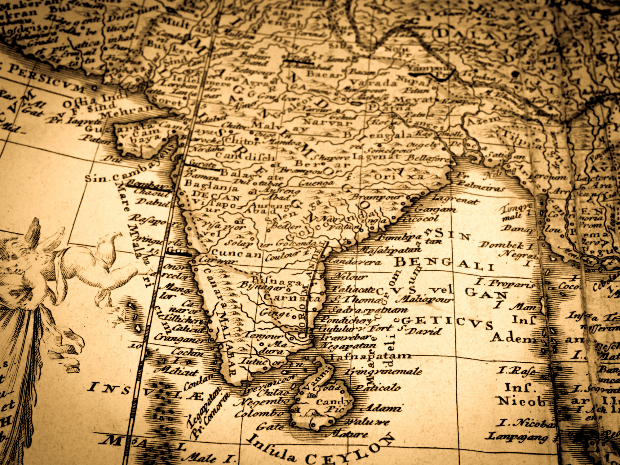
Table of Contents: Map of Ancient India
Explore our collection of historical maps visualizing the Indian subcontinent across time. From reconstructions of ancient empires to detailed colonial surveys, these artifacts reveal evolving geographical knowledge and shifting perspectives on “Ancient India.” Discover how early, text-influenced understandings transformed with exploration and strategic interests. Each map offers a unique window into the past, illustrating the interplay of geography, politics, and cartography in representing this pivotal region.
These maps trace the very concept of “Ancient India,” encompassing diverse empires and cultures. Early depictions often highlight major powers like the Mauryan Empire. Later colonial-era maps show a more detailed subcontinent, driven by administration. Examining these interpretations enriches our appreciation for the historical geography of India and its changing representation on the world stage.
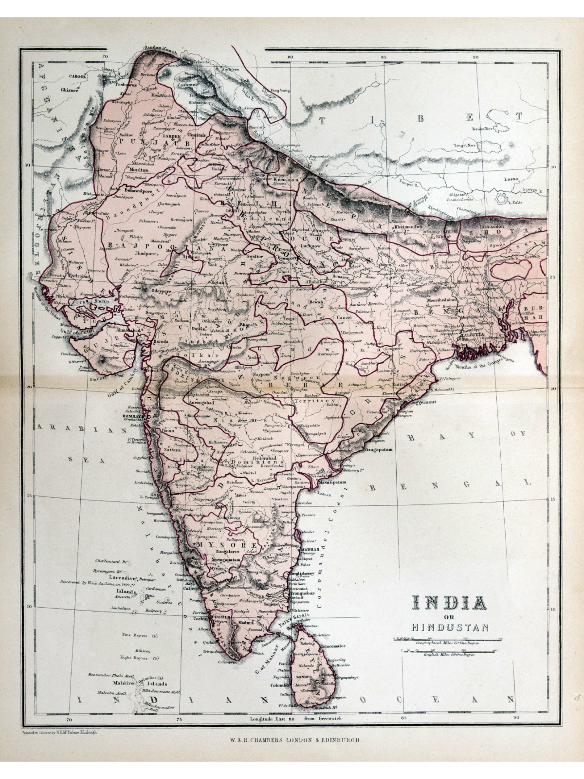
 Map of Ancient India – A Historical Cartographic Representation

| * | Creator: Likely influenced by James Rennell and the Survey of India. |
| * | Publication Year: 1870 |
| * | Title Translation: India on Hindustan. |
| * | Publisher Location: Not explicitly stated. |
| * | Regions Depicted: The Indian subcontinent (“India on Hindustan”). |
| * | Historical Context: British colonial interests and administration in India. |
| * | Key Features: Likely accurate for the time, potentially showing administrative divisions. |
| * | Scale: Present on the original map. |
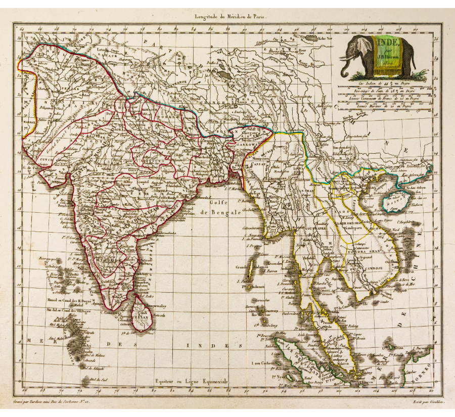
Carte de l’Inde et de l’Asie Sud-Est – Poirson et Malte-Brun, 1812

| * | Creator: Poirson and Malte-Brun |
| * | Publication Year: 1812 |
| * | Title Translation (if applicable): Map of India and Southeast Asi |
| * | Publisher Location (if applicable): Likely Paris (based on French creators) |
| * | Regions Depicted: India (“Inde,” “Hindoustan”), Southeast Asia |
| * | Historical Context: Early 19th-century colonial era, French geographical scholarship. |
| * | Key Features: Political boundaries, place names (in French), “Golfe de Bengale” (Bay of Bengal), elephant illustration, distance scale (upper right). |
| * | Scale: Present in the upper right corner. |
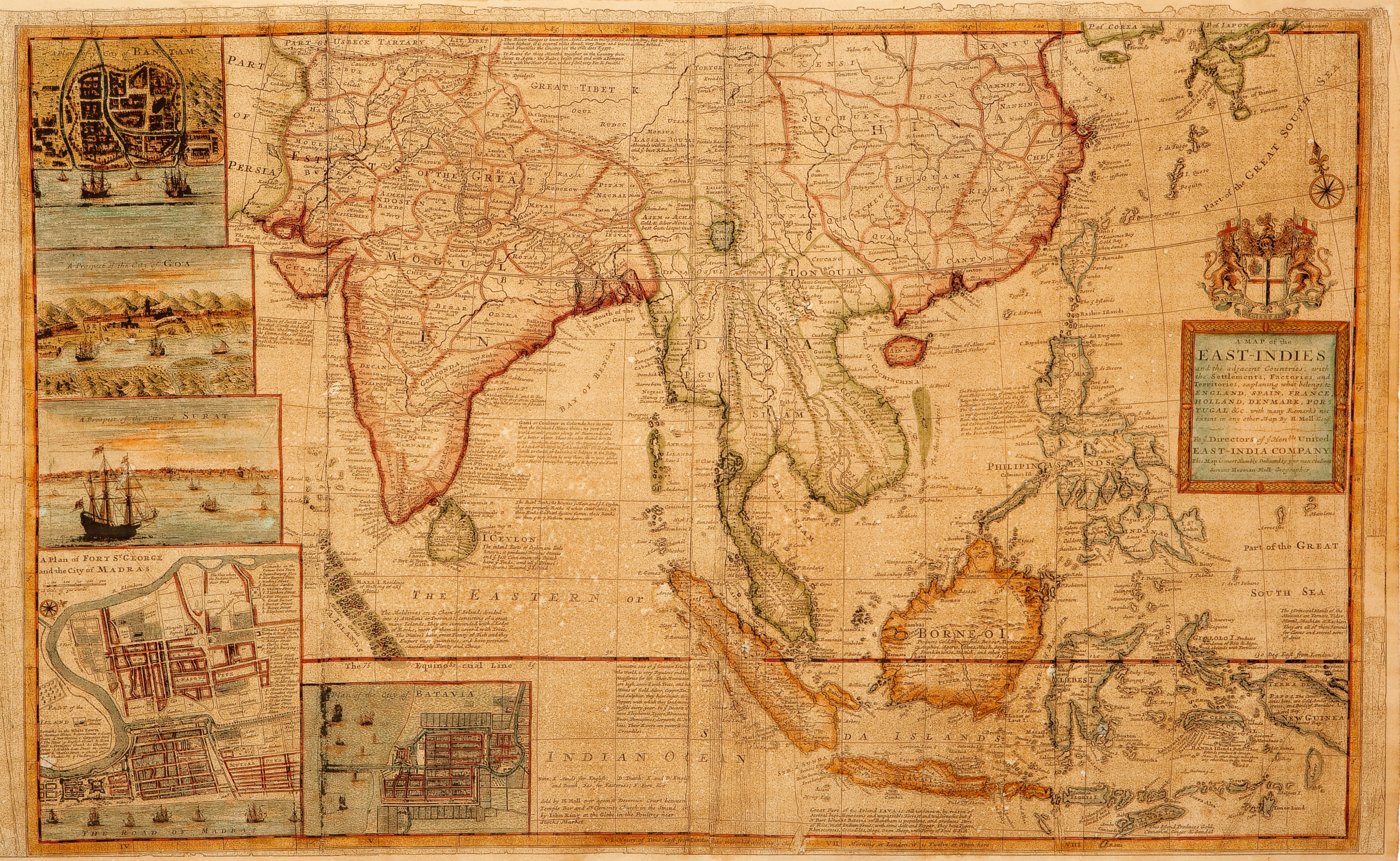
East-Indies and the Adjacent Countries – Herman Moll (c. 1687)
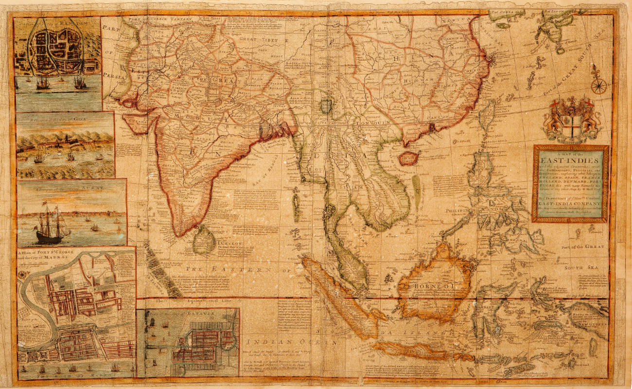
| * | Creator: Herman Moll |
| * | Publication Year: c. 1687 |
| * | Region Depicted: East Indies (Southeast Asia, primarily Malay Archipelago) |
| * | Historical Context: European colonial expansion and trade in the East Indies. |
| * | Key Features: Geographical boundaries, colonial possessions (English, Spanish, French, Dutch, Danish, Portuguese), settlements, factories, territories. |
| * | Scale: Likely included on the original map. |