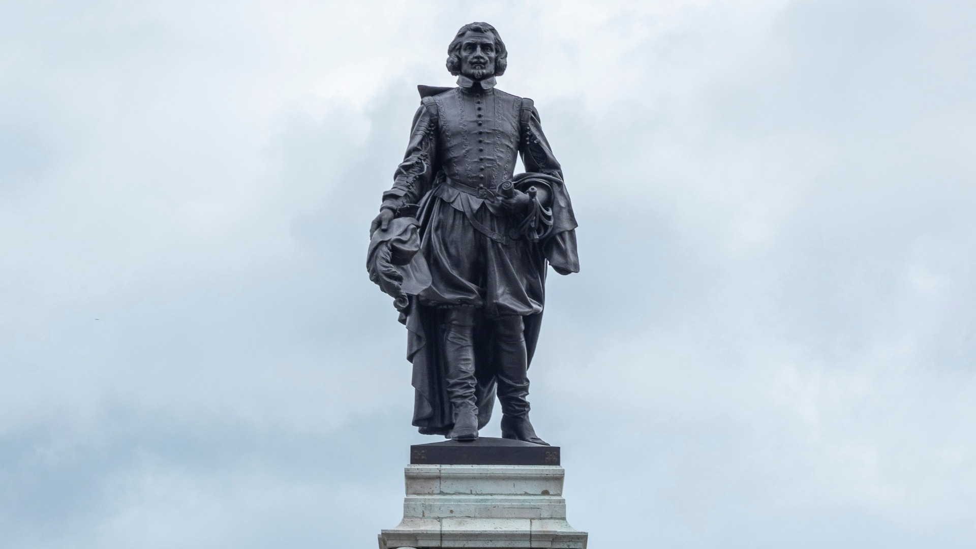
SAMUEL DE CHAMPLAIN (FRENCH EMPIRE / NEW FRANCE)
C. 1567 – 1635 AD
Table of Contents: Samuel de Champlain

Samuel de Champlain. His name originates from the Saintonge region of France and reflects a non-noble, maritime heritage rooted in a family of skilled mariners. Consequently, his lineage allowed him to navigate both local naval circles and royal aristocratic frameworks through sheer administrative talent.

Hiers-Brouage, Saintonge Province (Modern-day Charente-Maritime, France). This coastal town served as a premier European salt production hub and crucial Atlantic port during the sixteenth century. Therefore, the bustling harbor provided Champlain with vital early exposure to international maritime networks and advanced seafaring technology.

1603 – 1635 AD. During these intense decades, he executed multiple transatlantic voyages, established permanent colonial outposts, and mapped vast stretches of North America. Ultimately, this sustained administrative and exploratory effort resulted in his foundational synthesis of early Canadian colonial infrastructure.

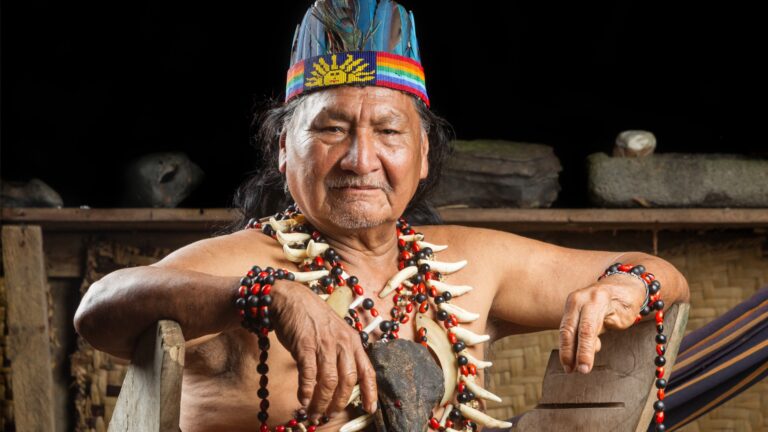
Kingdom of France, Company of One Hundred Associates, and the Huron-Wendat Confederacy. He aligned closely with the French Crown under King Henry IV and Cardinal Richelieu while building deep commercial ties with indigenous nations. However, these complex alliances forced him to navigate shifting imperial priorities, commercial rivalries, and violent regional conflicts.

The Father of New France. This definitive honorific was popularized by later historians and nineteenth-century state builders to recognize his monumental shift away from transient resource exploitation toward permanent, structured agricultural settlement. Furthermore, ancient cartographic authorities and royal patents validated his pioneering efforts to replace speculative folklore with rigorous, empirical geographic data.

Champlain pioneered systematic cartographic methodologies by producing highly detailed maps of the Atlantic coastline and the St. Lawrence River basin. Consequently, his foundational journals and precise geographic charts established the empirical baseline for all subsequent European exploration and institutional governance in northern North America.

Foundational expedition to the St. Lawrence River in 1603, establishment of the habitation at Port-Royal in 1605, founding of Quebec City in 1608, military alliance and battle at Lake Champlain in 1609, publication of his landmark 1613 navigational charts, appointment as lieutenant general of New France, defense and surrender of Quebec to the Kirke brothers in 1629.

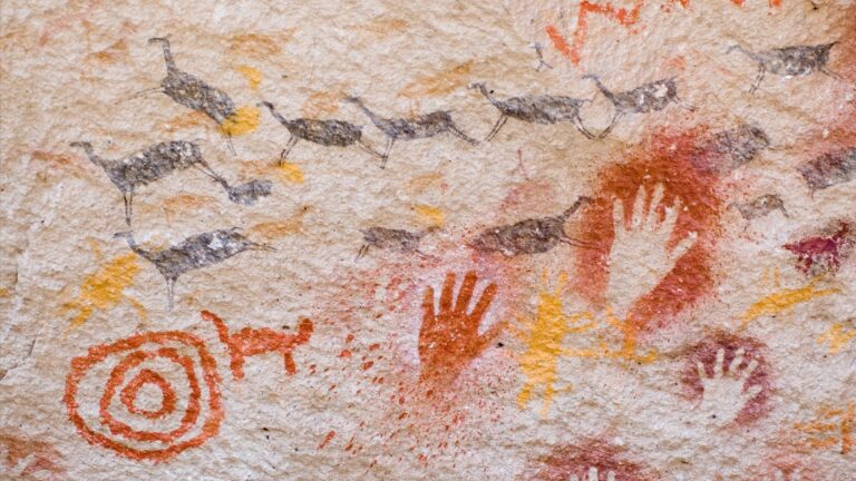
He recorded indigenous languages, honored native diplomatic protocols through formal wampum ceremonies, and consistently advocated for peaceful coexistence and intermarriage rather than imperial subjugation.

| Following his death on Christmas Day in 1635, his exact burial site in Quebec became lost to history, sparking centuries of intense archaeological debate. Nevertheless, modern architectural surveys and archival discoveries have continually vindicated his reputation as a visionary cartographer whose precise layouts match modern geographic coordinates. |
“The navigation of the sea is an art that requires a great deal of knowledge, and one which can never be praised too highly.”
– Samuel de Champlain
Overview: Samuel de Champlain
Samuel de Champlain entered the historical stage during a period of intense imperial competition, transforming French ambitions in the New World from speculative fishing ventures into a permanent colonial reality. Born into a Protestant seafaring community, he absorbed advanced navigation techniques and cartographic skills during his youth.
His early service in the French religious wars caught the attention of King Henry IV, who subsequently sponsored his initial voyages across the Atlantic Ocean. Champlain possessed an uncommon analytical mind that rejected the sensationalized myths of previous explorers, choosing instead to focus on empirical data collection and sustainable settlement strategies. Consequently, his arrival in North America marked the beginning of a systematic effort to comprehend the continent’s geography, ecology, and human networks. He recognized that a successful colony required more than gold; it demanded agriculture, fortresses, and stable trade alliances.
Through relentless personal observation and direct participation in indigenous diplomacy, Champlain fundamentally altered how Europeans interacted with the Canadian wilderness. He traveled thousands of miles by canoe, mapping treacherous river systems and cross-examining native guides to document lands that no European had ever witnessed.
His meticulously kept journals served as scientific records, detailing soil quality, flora, fauna, and indigenous governance structures with remarkable accuracy. When faced with tribal warfare, he skillfully negotiated alliances with the Huron-Wendat and Algonquin nations, binding French economic survival to native fur-trading networks. He survived harsh winters, scurvy outbreaks, and political betrayals by rivals in Paris who sought quick profits over long-term empire building. By the time of his passing, he had established a permanent stronghold at Quebec, leaving behind a rich cartographic blueprint that shaped the geopolitics of North America for generations.
Did you know? Samuel de Champlain
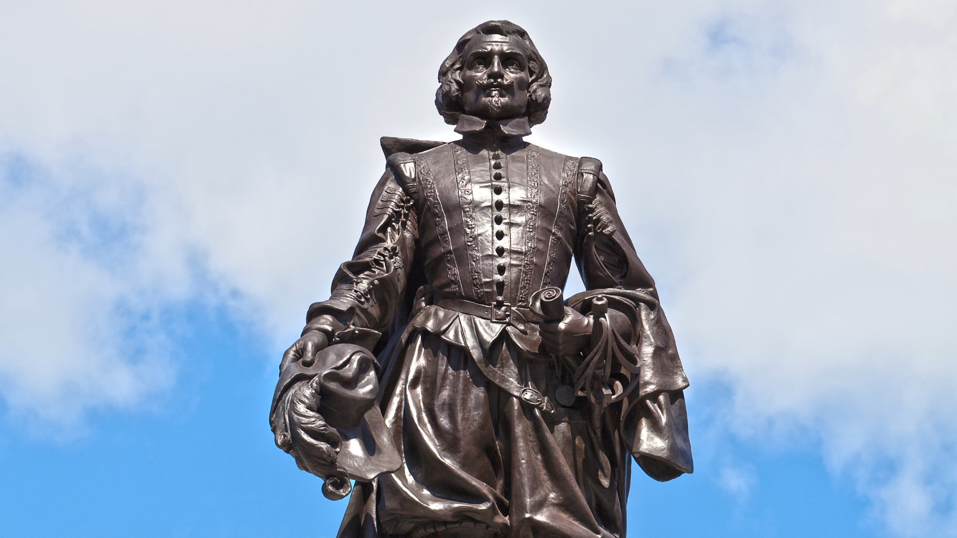
The famous bronze monument of Samuel de Champlain stands prominently at Nepean Point in Ottawa, designed by sculptor Hamilton MacCarthy in 1915. This real-world classical sculpture depicts the explorer holding his famous astrolabe upside down, a historical quirk that draws thousands of modern museum visitors and sightseers annually.

For centuries, critics questioned the extreme precision of Champlain’s early maps, suspected that he plagiarized Spanish charts from his mysterious Caribbean voyage between 1599 and 1601. However, modern multi-spectral analysis of his original manuscripts proved that his cartographic grids relied on a unique, highly advanced system of dead reckoning that predated standard maritime instruments.

| Champlain operated as a highly practical field cartographer, manually dragging heavy iron chains and brass astrolabes through dense Canadian underbrush to calculate exact latitudes. He frequently risked his life by running whitewater rapids in native bark canoes just to verify river depths and shoreline topography for his future navigation manuals. |
Timeline of Samuel de Champlain
The chronological timeline of Samuel de Champlain reflects a lifetime dedicated to maritime mastery, empirical observation, and imperial administration. Born around 1567 in the salt-exporting port of Hiers-Brouage, his early life was shaped by the French Wars of Religion, where he gained valuable tactical experience under the Crown. By 1599, he secured a spot on a Spanish convoy to the West Indies, gathering secret intelligence and sharpening his cartographic skills over two years. His true lifework began in 1603 when he sailed to the St. Lawrence River as a royal observer. Over the next three decades, he established settlements at Port-Royal and Quebec, navigating treacherous regional politics and native wars. Despite being captured by English privateers in 1629, his diplomatic persistence restored Quebec to France in 1632, allowing him to spend his final years solidifying the institutional foundations of New France until his death in 1635.
Timeline Chronology
| YEAR | EVENT | DESCRIPTION |
| 1567 | Birth in Brouage | Born into a prominent maritime family during the height of the French religious conflicts. |
| 1598 | Royal Intelligence | Serves King Henry IV as a confidential observer during military operations in Brittany. |
| 1599 | Spanish Voyage | Embarks on a secret two-year journey to the West Indies aboard a Spanish galleon. |
| 1603 | First Canadian Voyage | Explores the St. Lawrence River, documenting indigenous cultures and identifying strategic trading posts. |
| 1604 | Acadia Expedition | Joins Pierre Dugua, Sieur de Mons, to establish the ill-fated settlement on St. Croix Island. |
| 1605 | Port-Royal Founded | Relocates the Acadian colony to Port-Royal, designing the iconic fortified Habitation building. |
| 1608 | Founding of Quebec | Establishes a permanent fortified post at the base of Cape Diamond, launching New France. |
| 1609 | Iroquois Conflict | Joins Huron allies in battle at Lake Champlain, introducing European firearms to regional warfare. |
| 1611 | Place Royale Cleared | Orders the clearing of land at Montreal, establishing a seasonal fur-trading center. |
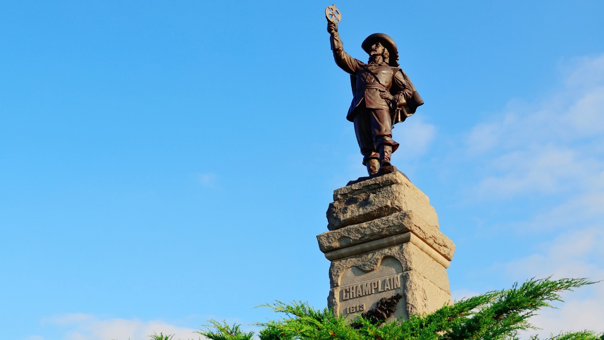
| 1613 | Astrolabe Loss | Travels up the Ottawa River, losing his famous brass astrolabes during a difficult portage. |
| 1615 | Huron Exploration | Reaches Lake Huron, wintering with native tribes to study their societal structures intimately. |
| 1620 | Administrative Shift | Receives formal orders from the King to cease personal exploration and govern the colony. |
| 1627 | Company Formation | Cardinal Richelieu creates the Company of One Hundred Associates, naming Champlain its chief commander. |
| 1629 | Surrender of Quebec | Surrenders the starving Quebec garrison to the English Kirke brothers after a prolonged blockade. |
| 1633 | Triumphant Return | Returns to Canada as Governor after the Treaty of Saint-Germain-en-Laye restores French territory. |
Legacy of Samuel de Champlain
Samuel de Champlain shaped the geopolitical map of North American history by establishing the institutional, cartographic, and diplomatic foundations of French Canada. His highly detailed writings provided European scholars with their first accurate understanding of the interior of the continent, challenging prevailing myths about the New World. By prioritizing long-term agricultural settlement over rapid resource extraction, he ensured that French language, law, and culture took permanent root along the St. Lawrence River. Furthermore, his complex network of indigenous alliances dictated the patterns of trade and warfare across the continent for the next one hundred and fifty years. Ultimately, his empirical methodology transformed exploration from an individual quest for gold into a systematic, state-sponsored scientific endeavor.
Accomplishments:
| Empirical Cartography | He replaced speculative medieval monsters and imaginary shorelines with precise, mathematically sound coastal measurements. |
| Indigenous Diplomacy | He pioneered the system of cultural integration by sending young Frenchmen to live among native tribes as interpreters. |
| Hydrographic Mapping | His detailed soundings of the Atlantic coast opened safe shipping lanes for future transatlantic commerce. |
| Botanical Recording | He systematically categorized North American flora, identifying medicinal plants used by indigenous healers. |
| Ethno-Historiography | His journals provide the most complete eyewitness accounts of early seventeenth-century First Nations societies. |
| Fortification Design | He introduced advanced European military architecture adapted specifically for harsh sub-arctic winters. |
| Commercial Regulation | He consolidated chaotic independent fur trapping into a structured, state-sanctioned economic monopoly. |
| Geopolitical Strategy | He correctly identified the St. Lawrence River as the primary gateway to continental infrastructure. |
| Religious Historiography | He brought Recollet friars to Canada, establishing the framework for early colonial education and literacy. |
| Agricultural Adaptation | He conducted the first successful European crop trials in Quebec, proving the fertility of Canadian soil. |
| Navigational Science | His written treatises on seamanship revolutionized how pilots calculated magnetic declination in northern waters. |
| Metis Integration | He actively promoted social assimilation, famously telling native elders that their children would marry French youth. |
| Legal Administration | He instituted the first formal civil ordinances and judicial resolutions within the Quebec settlement. |
| Archival Preservation | He meticulously published his maps and records in Paris to secure continuous royal funding and historical permanence. |
| Urban Planning | His original layout for Quebec separated lower-town commerce from upper-town administrative and military power. |
References and Citations
- Champlain, S. (2010). The Voyages of Samuel de Champlain, 1604-1618. Project Gutenberg Research Repository. https://www.gutenberg.org/files/17258/17258-h/17258-h.htm
- Fischer, D. H. (2008). Champlain’s Dream: The European Founding of North America. Simon and Schuster Academic. https://www.simonandschuster.com/books/Champlain-s-Dream/David-Hackett-Fischer/9781416593331
- Heidenreich, C. E. (1976). Samuel de Champlain’s Maps: A New Digital Analysis. Cartographica: The International Journal for Geographic Information, 13(1), 18-32. https://doi.org/10.3138/C316-218X-0524
- Litalien, R., & Vaugeois, D. (2004). Champlain: The Birth of French America. McGill-Queen’s University Press. https://www.mqup.ca/champlain–the-birth-of-french-america-products-9780773528505.php
- Armstrong, J. (2015). The Maritime Training and Early Life of Samuel de Champlain. The Mariner’s Mirror, 101(3), 260-275. https://doi.org/10.1080/00253359.2015.1054612
- Hunter, A. F. (1924). The Route of Champlain’s First Expedition into Western Ontario. Ontario Historical Society Papers and Records, 21(2), 12-24. https://www.ontariohistoricalsociety.ca/publications