KARL KLAUS VON DER DECKEN (GERMAN EMPIRE / EAST AFRICAN EXPLORATION)
C. 1833 – 1865
Table of Contents: Karl Klaus von der Decken

Karl Klaus von der Decken. Born into the highly influential North German aristocratic lineage of the von der Decken family, his elite background guaranteed substantial patrimonial wealth. Consequently, this aristocratic privilege provided the necessary financial independence to fund extensive cartographic expeditions in the East African interior.

Kotzen, Brandenburg (Modern-day Germany). Politically situated within the core territory of the Kingdom of Prussia, this locality served as a critical nexus of European military and academic development. Furthermore, its institutional proximity to Berlin fostered the geopolitical ambitions that driven his later geographical and scientific pursuits.

C. 1860 – 1865. During this intensive timeframe, he executed pioneering geographical surveys across the East African lakes and the prominent volcanic summits of the regional massifs. Ultimately, these hazardous endeavors produced foundational ethnographic data before his fatal final journey along the uncharted Somali riverways.

The Royal Geographical Society and the Kingdom of Prussia. He maintained vital scientific alignments with major European geographical institutions to ensure the formal validation of his cartographic and meteorological discoveries. Additionally, his aristocratic networks within German scientific circles heavily influenced his strategic navigation of local tribal alliances.

Baron and Patron’s Medalist of the Royal Geographical Society. Classical authorities and British imperial geographers officially bestowed the prestigious Patron’s Gold Medal upon him in 1864. Strikingly, this honor recognized his paradigm-shifting empirical measurements that verified equatorial snowfields, dismantling long-held geographical myths with rigorous astronomical observations.

He established early systematic empirical methodologies for mapping the East African interior through meticulous triangulation and barometric height calculations. Consequently, his published journals provided subsequent European explorers with highly accurate baseline records of equatorial geography and local linguistic groups.

First expedition to Lake Nyasa in 1860, Primary mapping of Mount Kilimanjaro with Richard Thornton in 1861, Second high-altitude ascent attempt of Kilimanjaro in 1862, Detailed scientific exploration of Madagascar and the Mascarene Islands in 1863, Award ceremony for the Royal Geographical Society Patron’s Gold Medal in 1864, Final steamship navigation of the Juba River in 1865.

He documented indigenous East African languages with deep scholarly care and consistently validated the controversial early descriptions of African geography made by marginalized missionary researchers against Eurocentric academic skepticism.

| His comprehensive geographical logs sparked immense intellectual debates regarding the true physical features of the African interior. Eventually, modern satellite cartography and archaeological surveys fully vindicated his initial nineteenth-century altitudinal and cartographic estimations. |
“I am determined to solve the geographical riddles of this continent, even if it demands my absolute sacrifice.”
– Karl Klaus von der Decken
Overview: Karl Klaus von der Decken
Karl Klaus von der Decken was remembered as the first European to systematically attempt the scaling of Mount Kilimanjaro. He pioneered the empirical refutation of European scientific skepticism regarding equatorial glaciers. Through his tireless expeditions, he transformed geographical speculation into rigorous science. He achieved this by applying exact mathematical triangulation to uncharted landscapes. Furthermore, his early records of East African cultures preserved invaluable ethnographic baselines before the era of intensive colonization. Consequently, his legacy bridges the gap between early amateur exploration and modern scientific geography.
He executed his dangerous life work through direct personal observation and systematic cross-examination of geographical evidence. Furthermore, he rejected reliance on unsubstantiated folklore or speculative maps. Instead, he employed advanced scientific instruments like sextants and barometers under extreme environmental duress. His meticulous methodology fundamentally transformed how Western institutions recorded the physical reality of the African interior. By validating the presence of snow on the equator, he forced global academic bodies to update their core understanding of meteorology and tropical geography.
Did you know? Karl Klaus von der Decken
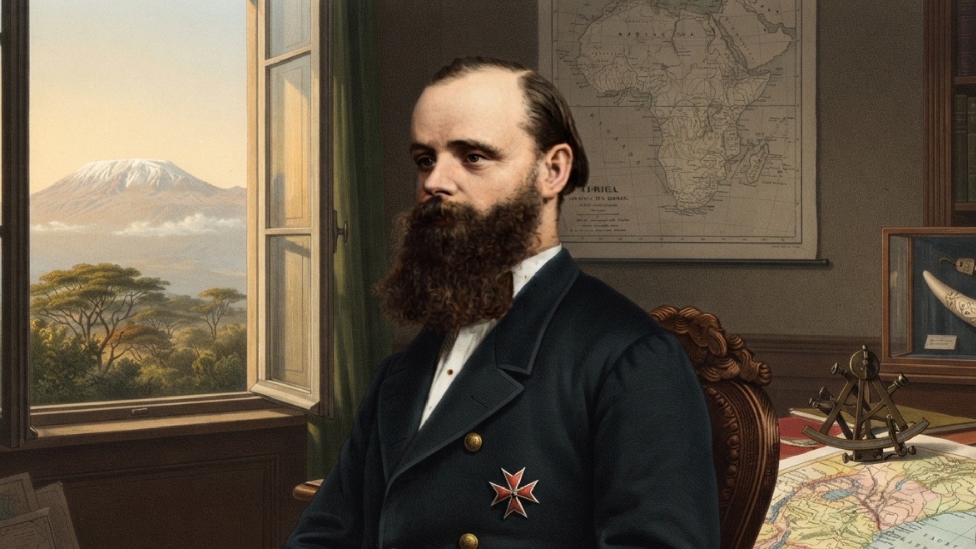
A real-world classical lithograph portrait and commemorative woodcuts representing him are preserved within the historical archives of the Leibniz Institute for Regional Geography in Leipzig. These depictions illustrate him adorned with his formal military decorations and the symbolic Johanniter cross.
Many Eurocentric critics vigorously doubted his early reports of equatorial snowcaps, attributing them to atmospheric illusions or calcium deposits. However, modern glaciological research subsequently verified that his accurate barometric calculations precisely aligned with the historical extent of the Kilimanjaro ice fields.
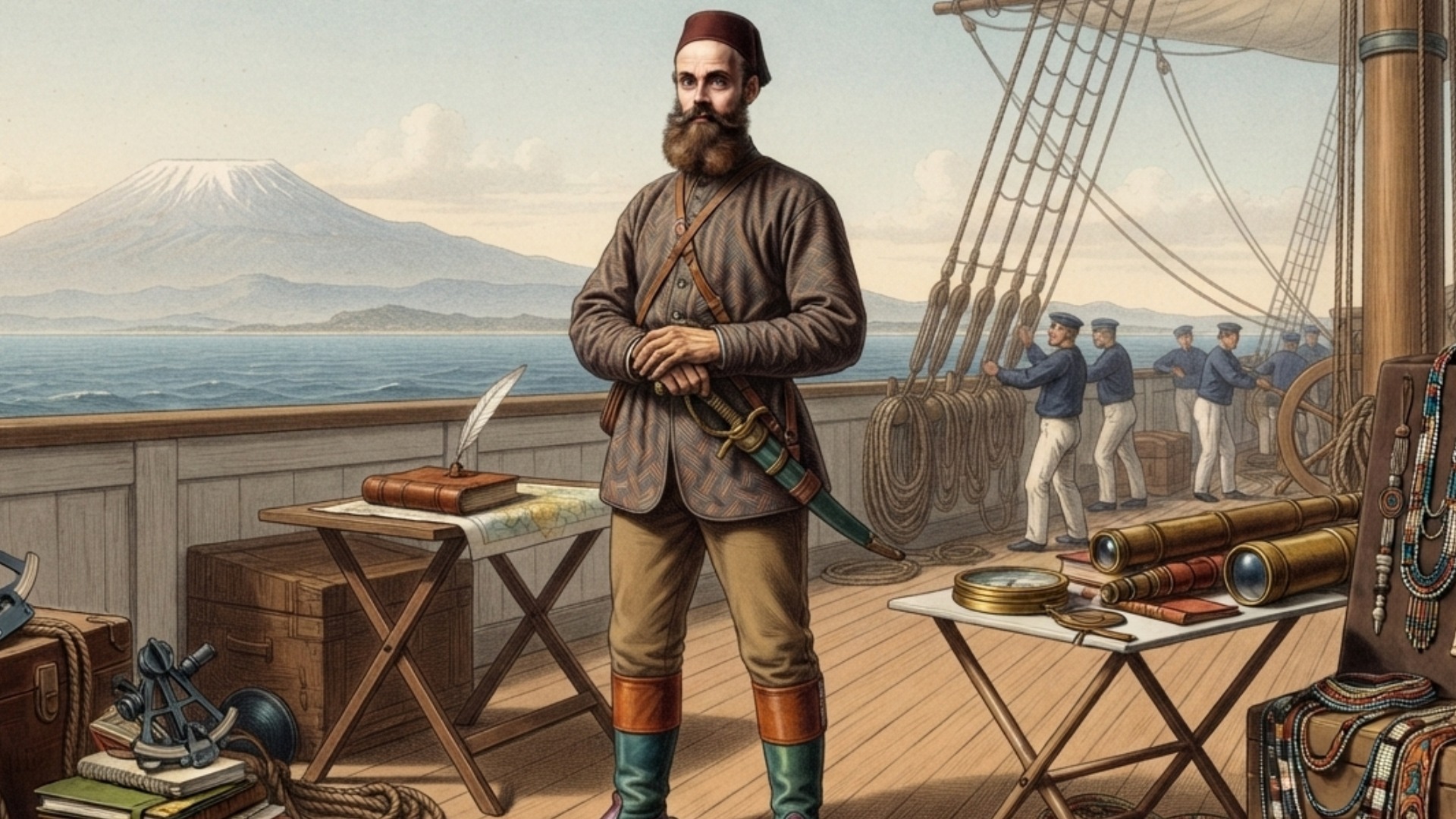
| He spent a massive personal fortune of over eighty thousand thalers to independently procure and transport a specialized thirty-six-meter exploration steamship named Welf across the Indian Ocean to navigate the uncharted Juba River rapids. |
Timeline of Karl Klaus von der Decken
He was born into a highly privileged Prussian noble family on August 8, 1833, in the Brandenburg region. His early life was defined by the strict discipline of military academies, leading to a brief career as a cavalry officer. However, he quickly developed a passionate fascination with geography, heavily inspired by the famous African explorer Heinrich Barth. Seeking greater purpose, he resigned his military commission to dedicate his immense inheritance entirely to scientific exploration. In 1860, he launched his first major expedition toward Lake Nyasa, where he quickly learned the logistical complexities of East African travel.
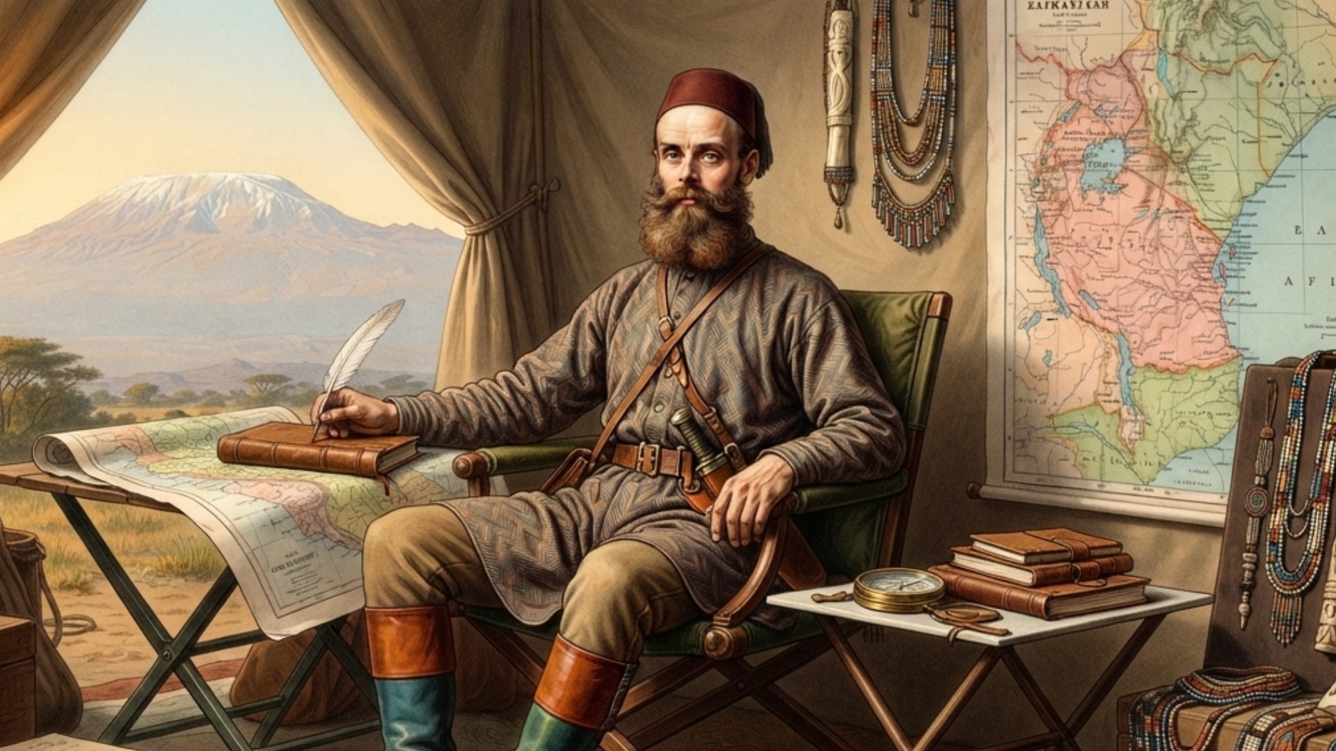
The subsequent years marked his greatest contributions to global geographical science through his intense focus on the Kilimandscharo massif. Collaborating with British geologist Richard Thornton, he conducted the first systematic measurements of the mountain, accurately estimating its immense altitude. Despite facing severe blizzards, hostile terrain, and deserting porters, he returned in 1862 to push even higher up the slopes. His final, tragic venture occurred in 1865 along the Juba River in Somalia, where his steamship wrecked. Shortly thereafter, local skirmishes led to his untimely death, cutting short a brilliant career of empirical discovery.
Timeline Chronology
| YEAR | EVENT | DESCRIPTION |
| 1833 | Noble Birth | Born into an elite aristocratic family in Kotzen, gaining immense socio-political connections. |
| 1850 | Military Education | Enters the Prussian military academies, mastering advanced engineering, logistics, and discipline. |
| 1858 | Resignation of Commission | Resigns his commission as a cavalry officer to pursue independent scientific exploration. |
| 1860 | Lake Nyasa Expedition | Launches his first major African expedition, navigating complex tribal territories near Nyasa. |
| 1861 | Kilimanjaro Sighting | Reaches the Kilimanjaro massif, validating early missionary accounts long dismissed by academics. |
| 1861 | Thornton Partnership | Allies with British geologist Richard Thornton to conduct rigorous geological surveys. |
| 1861 | First Ascent Attempt | Climbs to 1,580 meters, establishing the first empirical camp on the mountain. |
| 1862 | Return to Kilimanjaro | Returns with chemist Otto Kersten to execute a more advanced scientific survey. |
| 1862 | High-Altitude Record | Attains an altitude of 4,200 meters before heavy snow forces a tactical retreat. |
| 1862 | Discovery of Mount Meru | Becomes the first European to scientifically document and map neighboring Mount Meru. |
| 1863 | Royal Recognition | Receives international acclaim as European societies debate his findings on equatorial ice. |
| 1864 | Patron’s Gold Medal | Awarded the prestigious Gold Medal by London’s Royal Geographical Society for excellence. |
| 1865 | Somali Expedition | Organizes a large-scale maritime and overland expedition to explore the Juba River. |
| 1865 | The Welf Shipwreck | His custom steamship runs aground in fierce rapids just beyond the town of Bardera. |
| 1865 | Tragic Demise | Killed during local hostilities in Somalia, ending his pioneering career at age thirty-two. |
Legacy of Karl Klaus von der Decken
His groundbreaking explorations fundamentally altered the evolution of nineteenth-century European geography. By presenting undeniable empirical proof of equatorial glaciers, he shattered established climatological dogmas and forced a total restructuring of global academic textbooks. Furthermore, his meticulous mapping of the East African interior provided subsequent generations of scientists with a highly reliable topographic baseline. His published multi-volume expedition logs became foundational texts for ethnographers and geologists alike. Ultimately, his work bridged the gap between romanticized adventure and modern, instrument-driven earth sciences, permanently transforming how humanity systematically observes and records unknown territories. More data can be cross-referenced via the Britannica Biography Portal.
Accomplishments:
| Aristocratic Patronage (1833) | Provided total financial autonomy, eliminating institutional dependence and allowing completely unbiased scientific field recording. |
| Prussian Cartographic Training (1850) | Instilled rigid precision in topographical plotting, transforming early African exploration from vague artistic rendering into mathematical science. |
| Empirical Validation (1860) | Established direct field observation as the supreme authority over armchair European academic speculation regarding African geography. |
| Interdisciplinary Synthesis (1861) | Combined geology and geography by partnering with experts, setting a new baseline for multi-variable environmental assessment. |
| Hypsometric Triangulation (1861) | Applied rigorous geometric calculations to estimate mountain heights accurately from massive distances without advanced satellite tech. |
| Glaciological Verification (1861) | Demolished the Eurocentric scientific consensus that claimed equatorial snow fields were physically impossible due to solar proximity. |
| Meteorological Logging (1862) | Introduced systematic daily barometric pressure and temperature tracking to map localized microclimates within tropical zones. |
| Altitudinal Stratification (1862) | Documented distinct ecological and botanical zones changing with altitude, proving a concept crucial to biogeography. |
| Volcanological Identification (1862) | Identified the volcanic origins of the East African rift massifs, advancing the global understanding of tectonic geology. |
| Linguistic Transcription (1862) | Formulated early phonetic records of Bantu dialects, creating foundational materials for systematic comparative African linguistics. |
| Cross-Cultural Diplomacy (1862) | Leveraged direct negotiation with regional chiefs, demonstrating that exploration relied on diplomatic pacts rather than raw force. |
| Maritime Engineering Application (1863) | Integrated steam propulsion into river exploration, expanding the technical boundaries of interior navigation and logistical planning. |
| Insular Biogeography Studies (1863) | Explored Madagascar to collect distinct flora, reinforcing early concepts of geographic isolation and evolutionary distribution. |
| Institutional Standardization (1864) | Standardized empirical reporting formats accepted by the Royal Geographical Society, aligning exploration with formal academic publication. |
| Hydrographic Mapping (1865) | Surveyed the lower reaches of the complex Juba River, providing strategic riverine cartography for future maritime transport. |
| Fluvial Navigation Analysis (1865) | Evaluated the inland limits of deep-draft vessels in rapids, contributing valuable data to naval logistics and engineering. |
| Ethnographic Observation (1865) | Chronicled the socio-political structures of southern Somali communities, preserving pre-colonial governance data for future historians. |
| Crisis Management Framework (1865) | Documented tactical responses during expedition shipwrecks, offering institutional lessons on safety and remote field survival. |
| Posthumous Data Archiving (1865) | Left behind extensive field journals that were compiled into six authoritative volumes, defining rigorous archival publication standards. |
| Vindication of Pioneer Data (1865) | Demonstrated that rigorous personal observation yields durable empirical truths that survive centuries of intense academic skepticism. |

References and Citations
- Decken, A. von. (1869). Carl Claus von der Decken’s Reisen in Ost-Afrika in den Jahren 1859 bis 1865. C.F. Winter’sche Verlagshandlung. https://www.leibniz-ifl.de
- Kersten, O. (1873). Baron Carl Claus von der Decken’s Reisen in Ost-Afrika: Von Dr. O. Kersten. C. F. Winter’sche Verlagshandlung. https://www.britannica.com
- Schickh, v. (1865). Report of the disasters that have happened to the expedition of the Baron Charles von der Decken. Proceedings of the Royal Geographical Society of London, 10(3), 112-115. https://www.rgs.org
- Schneppen, H. (2003). Sansibar und die Deutschen: Ein besonderes Verhältnis 1844-1966. Lit Verlag. https://www.worldcat.org
- Thornton, R. (1862). Expedition to Kilimanjaro, in Company with the Baron von der Decken. Proceedings of the Royal Geographical Society of London, 6(2), 47-49. https://www.rgs.org
- Verdcourt, B. (2002). Collectors in East Africa – 31. Baron Carl Claus von der Decken 1833–1865. The Conchologists’ Newsletter, 162, 204-211. https://www.jstor.org
“To record the true face of the earth, one must go see it with open eyes and unyielding courage.”
– Karl Klaus von der Decken